
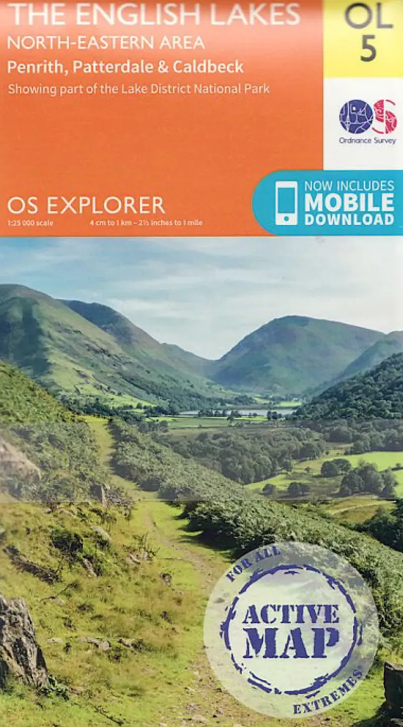
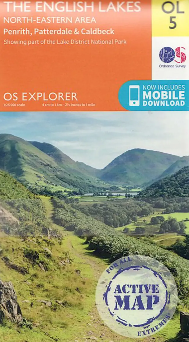
Ordnance Survey Maps And Books-OS Explorer – Active Map OL5 – The English Lakes North Eastern area
11,24 £
Most detailed map for outdoor activities.
OS Explorer is the Ordnance Survey’s most detailed map and is recommended for anyone enjoying outdoor activities such as walking, horse riding and off-road cycling. The series provides complete GB coverage and can now be used in all weathers thanks to OS Explorer – Active, a tough, versatile version of OS Explorer. The OS Explorer Active range of OL maps now includes a digital version of the paper map, accessed through the OS smartphone app, OS Maps.
- Page Size: 137 x 240 mm
- Publisher: Ordnance Survey
- Published Date: June 2015
- Edition: 2015 ed
- Binding: Sheet map (folded)
- Weight: 210g
Be the first to review “Ordnance Survey Maps And Books-OS Explorer – Active Map OL5 – The English Lakes North Eastern area”
Related products
Sale!
Climbing Equipment
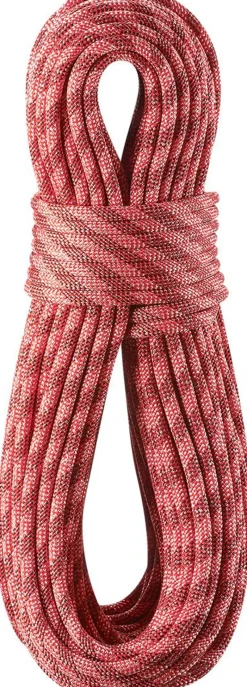
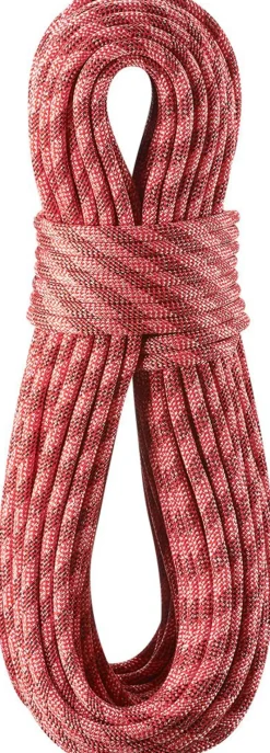
Edelrid Ropes & Slings-Python 10mm x 50m Climbing Rope – Red
Original price was: 108,75 £.71,92 £Current price is: 71,92 £.
Sale!
Equipment
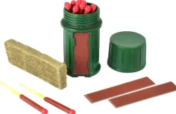
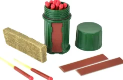
Original price was: 4,50 £.3,67 £Current price is: 3,67 £.
Sale!


Energy Bars
Original price was: 2,25 £.2,17 £Current price is: 2,17 £.
Sale!


Equipment
Climber’s Club Maps And Books-Climbers Club Guide The Sandstone Outcrops of the Forest of Dean
Original price was: 9,00 £.6,67 £Current price is: 6,67 £.
Sale!
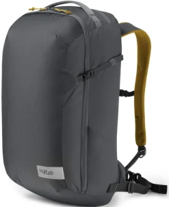
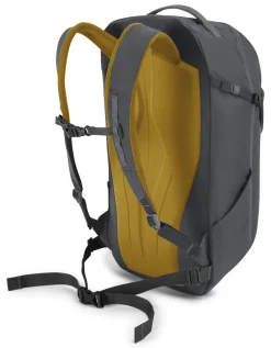
Climbing Equipment
Rab Climbing Packs And Rope Bags|Climbing Packs-Misfit 27 Rucksack – Ebony
Original price was: 58,50 £.40,49 £Current price is: 40,49 £.
Sale!
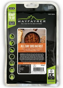
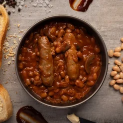
Breakfast
Original price was: 5,25 £.4,49 £Current price is: 4,49 £.
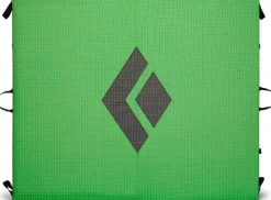
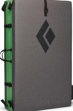
Bouldering
92,17 £
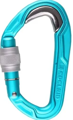
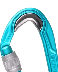
Carabiners & Quickdraws
Edelrid Carabiners & Quickdraws-Bulletproof Screw Carabiner – Icemint
9,67 £
5,17 £
Sale!
Belay & Protection
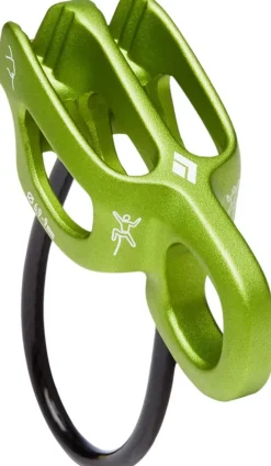
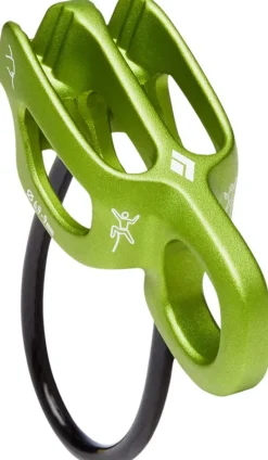
Black Diamond Belay & Protection-Alpine ATC-Guide Belay Device
Original price was: 20,25 £.14,99 £Current price is: 14,99 £.
Sale!

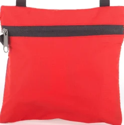
Original price was: 13,50 £.10,42 £Current price is: 10,42 £.
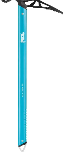
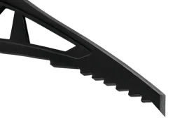
Equipment
55,49 £
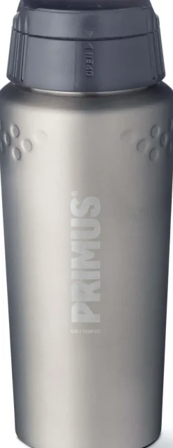
Bottles, Flasks & Coolers
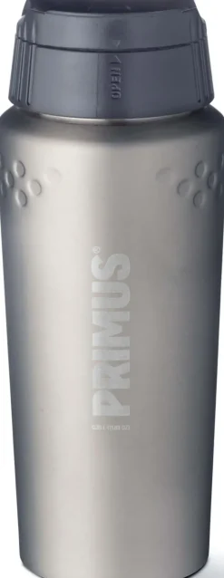
Primus Coffee Mugs & Flasks-TrailBreak Vacuum Mug – 0.35L – Stainless Steel
8,99 £
Sale!
Binoculars
Original price was: 48,75 £.35,92 £Current price is: 35,92 £.
30,74 £
52,42 £

Reviews
There are no reviews yet.